
Langwith’s Official Road Map Atlas United States & Canada - ca. 1930s For Sale

When you click on links to various merchants on this site and make a purchase, this can result in this site earning a commission. Affiliate programs and affiliations include, but are not limited to, the eBay Partner Network.

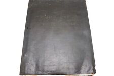
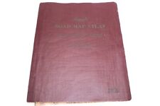
Langwith’s Official Road Map Atlas United States & Canada - ca. 1930s:
$79.95
Langwith's Road Map Atlas of the US and Canada in Leatherette Cover. Measures 9.75" x 12".Maps of all US States and Canada. Inside maps fold out to 12" x 17.25" and 24" x 17.25". All the maps are there. Overall VG+ condition.
Related Items:
Langwith’s Official Road Map Atlas United States & Canada - ca. 1930s
$69.95
1929 Langwith’s Official Road Map Atlas United States & Canada
$69.95

Photo 6x4 Bridleway near Grimston Wood Hall Garth Running from Langwith S c2010
$2.56