
Census Map of New York State 1918. Much data. Scarce. For Sale

When you click on links to various merchants on this site and make a purchase, this can result in this site earning a commission. Affiliate programs and affiliations include, but are not limited to, the eBay Partner Network.

Census Map of New York State 1918. Much data. Scarce.:
$48.00
Published by the Geographical Publishing Company of Chicago, this fold out map shows railroads and road fit for automobiles and considerable detail of towns and cities. On the reverse is a list of all counties and then all towns and villages with geographic area and population per the 1910 census. An interesting historical item.
The item is clean without tears and staining but there are cracks in the folds and the item is delicate (see photos or enquire for more details).
Free shipping in the USA
Related Items:
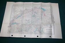
1920 MAP SWITZERLAND CENSUS RAILROAD LINES TRANSPORTATION HIGHWAYS CANALS
$9.00
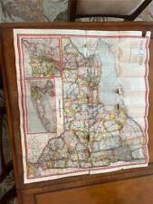
Census Map of New York State 1918. Much data. Scarce.
$48.00
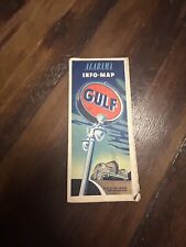
Vintage Gulf 1947 Census Alabama Info Map Travel Road Map-Form S P 1825A
$19.99