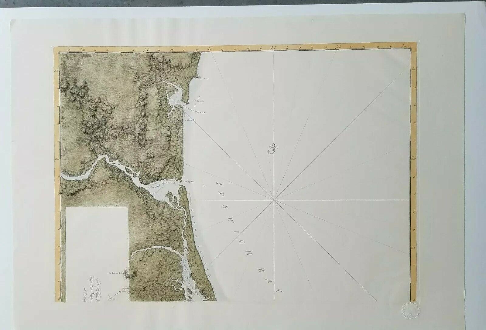
Map Of Ipswich Bay Mass topographic chart Marblehead, Cape Ann, Hampton Harbour For Sale

When you click on links to various merchants on this site and make a purchase, this can result in this site earning a commission. Affiliate programs and affiliations include, but are not limited to, the eBay Partner Network.
Map Of Ipswich Bay Mass topographic chart Marblehead, Cape Ann, Hampton Harbour:
$475.00
Map Of Ipswich Bay Mass topographic chart Marblehead, Cape Ann, Hampton Harbor, Plumb Island. This is a rare re-edition published by the Massachusetts Historical Society. This is printed in the etching format with hand coloring on watermarked Arches France laid paper. Full sheet dimensions are 36 3/4 x 25 3/4 inches. $475 or best offer. $35 to ship in large tube. Condition is excellent. You can see the Massachusetts Historical Society Blindstamp in the photos. Will look great framed.

Related Items:
AAA Road Map of the United States
$10.00
Raised Relief Map Of Holyland ISRAEL On The Footsteps Of Jesus
$29.80
Vintage Shell Road Map Of The Philippines 1961
$25.00


