
1817 Map| Chart of the Mediterranean Sea| Harbors|Mediterranean Sea Map Size: 18 For Sale

When you click on links to various merchants on this site and make a purchase, this can result in this site earning a commission. Affiliate programs and affiliations include, but are not limited to, the eBay Partner Network.

1817 Map| Chart of the Mediterranean Sea| Harbors|Mediterranean Sea Map Size: 18:
$34.99
Map Size: 18 inches x 24 inches | Fits 18x24 size frame | Frame not included | Archival Quality Reproduction | 1817 Map|Title: Chart of the Mediterranean Sea|Subject: Harbors|Mediterranean Sea Notes: Relief shown by hachures; depths by soundings in insets. Insets: Bay & roads of Marseilles -The harbour of Genoa -Map of the rock and bay of Gibraltar : shewing the position of the combined fleet and attack of the battering ships in 1782 -Gulf of Smyrna -Attack on Algiers by the fleet under the command of Adml. Lord Exmouth, Augst. 27th, 1816 -Sketch of watering place of Algeziras -Leghorn Road.Each Map is Hand Printed in our StudioFine Art Matte Paper (230g, 14mil) that maintains vivid colors and faithfulness to the original map.Archival inks guaranteed not to fade for 200+ yearsYour map will be shipped in a protective tube via first class mailPowered by SixBit's eCommerce Solution
Related Items:

Forêt De Bellême Mamers 1817 OT IGN Travel Road Map OldPaperMaps
$14.99
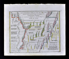
1817 Wilkinson Genealogical Chart Old Testament Temple of Solomon to Captivity
$23.99
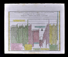
1817 Wilkinson Genealogical Chart Old Testament Great Flood to Abraham Languages
$19.99